
Two lab members awarded research scholarships
We are happy to announce that two Platial Analysis Lab team members have been awarded scholarships to support their graduate research…

We are happy to announce that two Platial Analysis Lab team members have been awarded scholarships to support their graduate research…

PhD student Hongyu Zhang is co-organizing three sessions at this years Canadian Association of Geographers meeting and conference. See the call for papers…
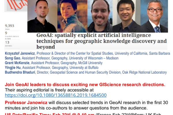
Professor McKenzie will join coauthors to present their editorial GeoAI: spatially explicit artificial intelligence techniques for geographic knowledge discovery and beyond…
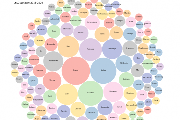
A quick interactive visualization of McGill researchers presenting their work at the American Association of Geographers annual meeting (2013-2020).

The lab is currently accepting applications for motivated PhD and Master’s students interested topics such as micromobility and location privacy.
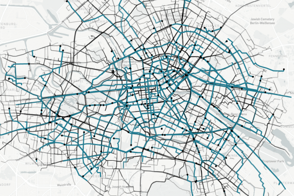
We are currently building a platform to visualize animated urban trajectories… A demo version showing 24 hours of e-scooter data in Berlin is available here…
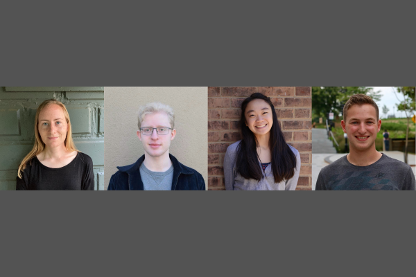
The Platial Analysis Lab is excited to welcome four new students to the team: Lauren Cater, Daniel Romm, Emily Chen, and Jonah Levitt. We are looking forward to a fun and productive year…

We are happy to share that our research proposal to build a Location Privacy Educational Platform was selected for funding by the Canadian Internet Registration Authority…

The lab is pleased to announce that we were recently awarded a grant from the Quebec government to support our continued research on location privacy…